Beijing No.3 B-star helps the construction of real-life 3D China and drives the development of digital economy industry.
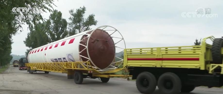
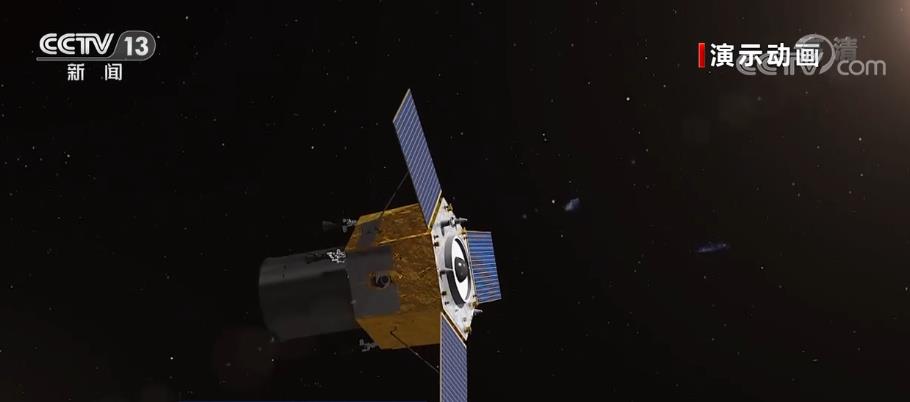
CCTV News:At 11: 01 am on August 24th, China used the Long March II carrier rocket at Taiyuan Satellite Launch Center to successfully launch the Beijing III B star, and the satellite successfully entered the scheduled orbit, and the launch mission was a complete success. The satellite mainly provides telemetry data services for land and resources management, agricultural resources investigation, ecological environment monitoring and urban comprehensive application. This mission is the 434th flight of the Long March series of launch vehicles.
Widely used to serve the country’s major needs and economic construction.
With the ability of "moving imaging" and stereoscopic imaging, Beijing No.3 B Star, with the blessing of innovative technology, can easily provide remote sensing data support for the country’s major needs and national economic construction.
The capacity of Beijing-3 B satellite is diverse. After analyzing the image content through earth observation, different kinds of data can be extracted and applied to natural resource management, ecological environment monitoring and other fields to provide services for the modernization of national governance system and governance capacity and emergency management.
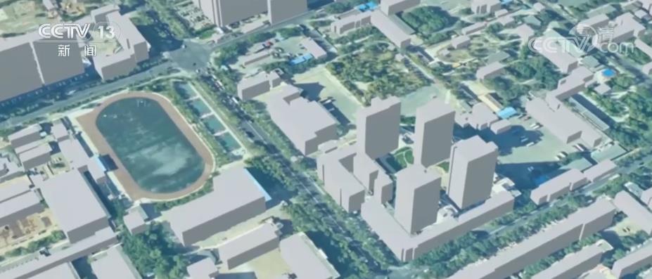
Based on the various characteristics of Beijing-3 B satellite, it can also play a role in real-life 3D, urban digital base and other fields, providing assistance for the construction of real-life 3D China and the development of digital economy, and promoting the application of remote sensing satellites and the development of digital economy industry in related areas.